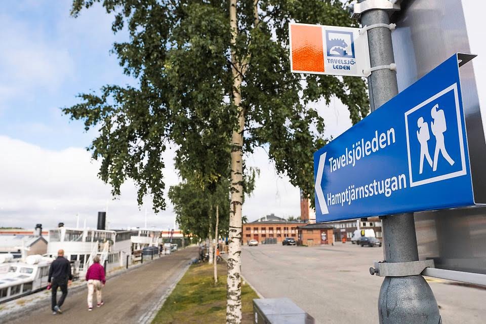
Sentiero escursionistico Tavelsjöleden
Tavelsjöleden è un sentiero lungo circa 42 chilometri che offre numerose esperienze naturalistiche. Lungo il sentiero, tra le altre cose, ci sono piante insolite, grotte e alte montagne con viste fantastiche. Ma anche diverse capanne per barbecue, ripari dal vento e aree di sosta. Il sentiero offre anche percorsi in mountain bike, sia piacevoli che impegnativi in alcuni tratti.
Il Tavelsjöleden inizia nel centro di Umeå, vicino al fiume. Il primo cartello da seguire è vicino alla casa della cultura Väven. Il sentiero segue la passeggiata verso ovest fino ai moli di Lundåkern per svoltare lì e seguire Tvärån. Poi il sentiero passa oltre Rödäng e Rödberget, attraversando i campi e i pascoli verso Forslunda e Hamptjärnsberget. Dopo aver seguito la strada 363 per un paio di centinaia di metri, si sale su un viadotto che conduce nella foresta, lì mancano circa 2 chilometri per raggiungere Hamptjärnsstugan.
Quando il sentiero percorre sentieri e piste ciclabili, è segnalato con piccoli cartelli su pali e agli incroci e alle svolte ci sono frecce sul catarifrangente arancione. Nella foresta, il sentiero è segnalato con un piccolo cartello fisso su pali rossi e vernice arancione sugli alberi.
La vetta più alta del Tavelsjöberget raggiunge i 284 metri sul livello del mare, uno dei punti più alti del comune di Umeå.
Visitate anche la torre di osservazione sul Vallberget, una montagna adatta anche all'arrampicata!
L'autobus n. 115 dalla scuola Tavelsjö vi riporterà comodamente a Umeå. Consulta qui gli orari dell'autobus n. 115.

Scarica le immagini del prodotto


