Tavelsjöleden hikingtrail
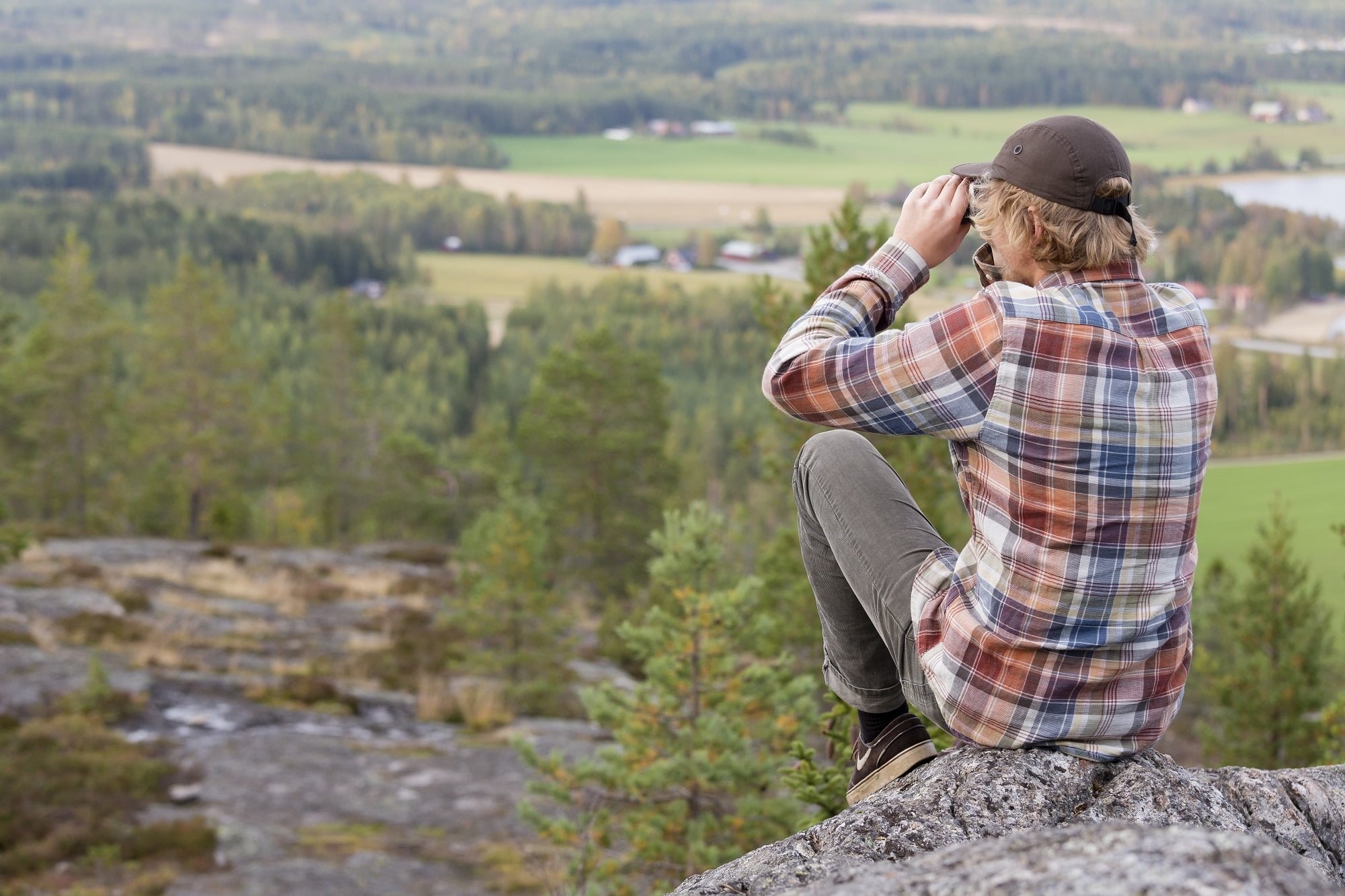
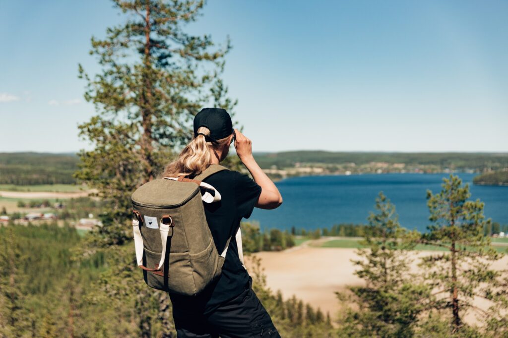
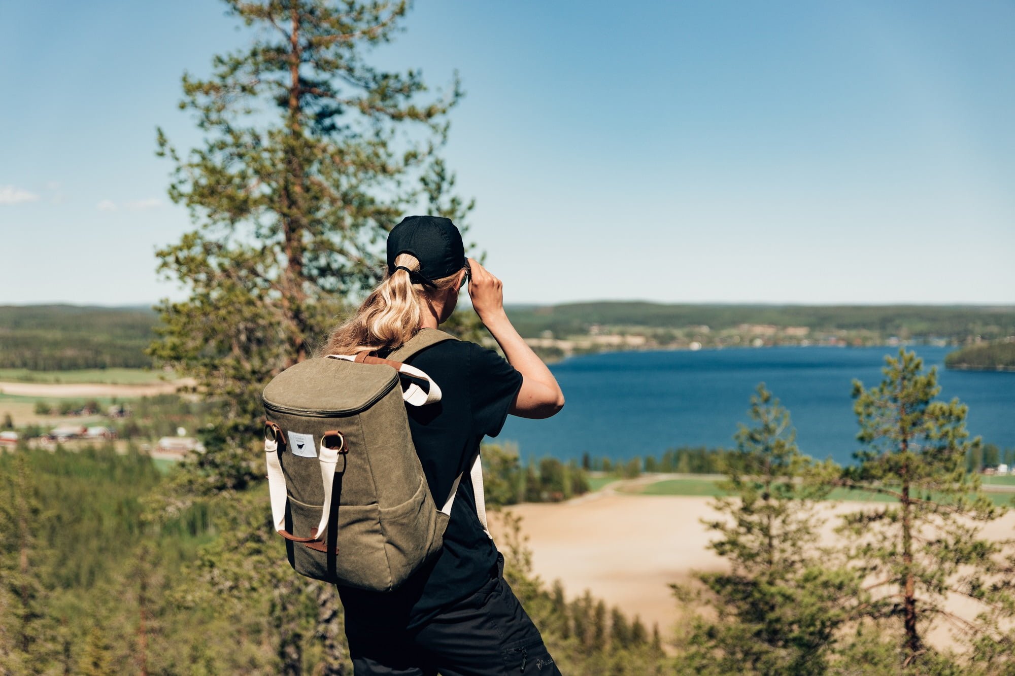
Tavelsjöleden is an approximately 42-kilometre-long trail that offers many nature experiences. Along the trail, there are, among other things, unusual plants, caves and high mountains with fantastic views. But also several barbecue huts, wind shelters and rest areas. The trail offers even mountain bike cycling, both pleasant and challenging cycling in parts.
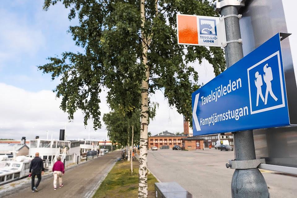
The Tavelsjöleden starts in central Umeå, by the river. The first sign to follow, is close to the culture house Väven. The trail follows the promenade west to the piers at Lundåkern to turn off there and follow Tvärån instead. Then the trail goes past Rödäng and Rödberget, out across the fields and pastures towards Forslunda and Hamptjärnsberget. After following road 363 for a couple of hundred meters you go up a viaduct that leads into the forest, there it is about 2 kilometres left to Hamptjärnsstugan.
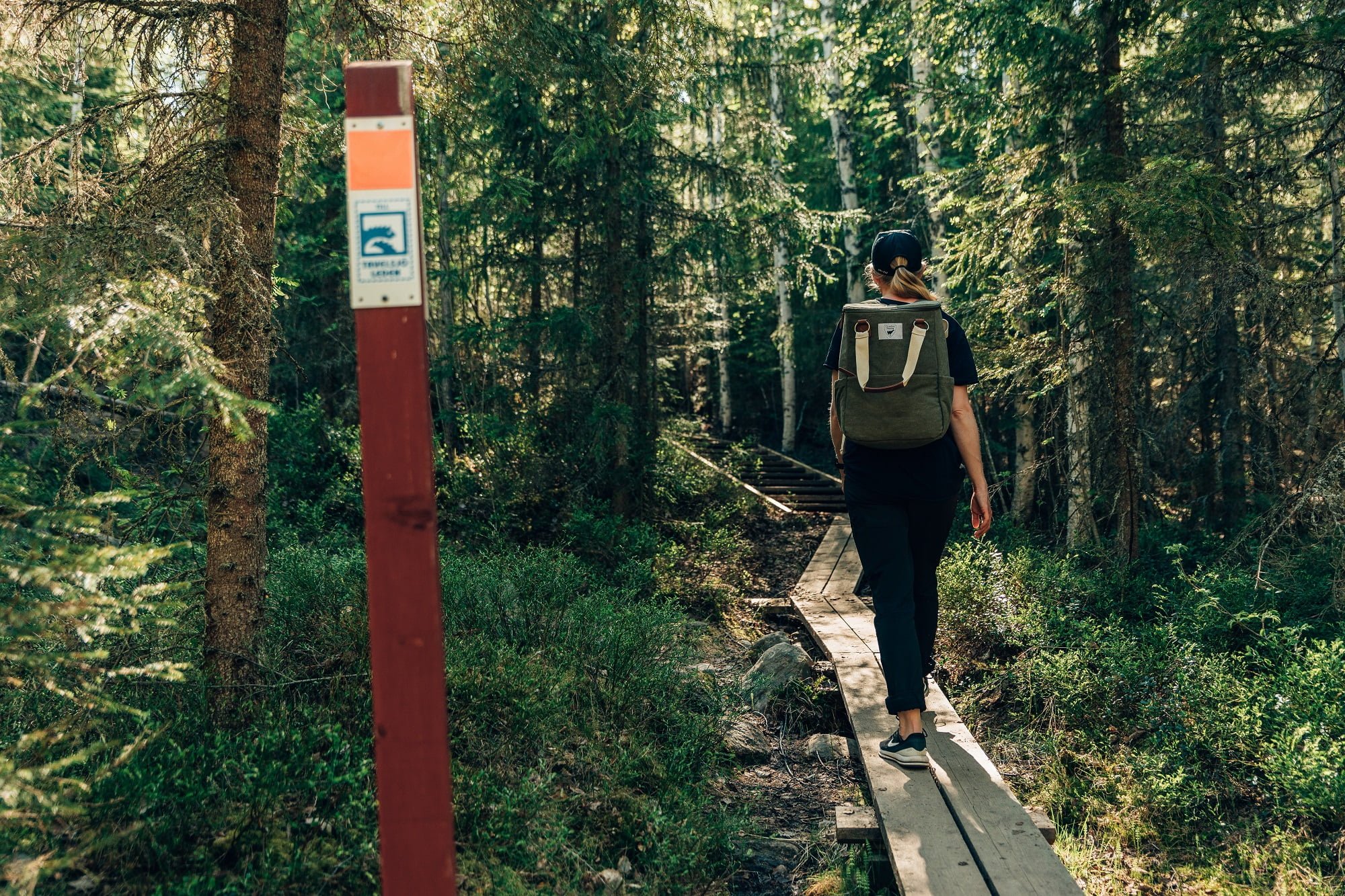
When the trail goes along footpaths and cycle paths, it is marked with small signs on poles and at intersections and turns there are arrows on the orange reflector. In the forest, the trail is marked with a small standing sign on red poles and orange paint on trees.
Tavelsjöberget’s highest peak reaches 284 meters above sea level – one of the highest points in Umeå municipality.
Also visit the observation tower on Vallberget, a mountain that is also suitable for rock climbing!
The bus No.115 from Tavelsjö school takes you comfortably back to Umeå. Check the timetable for bus No 115 here.


